Chart a course.
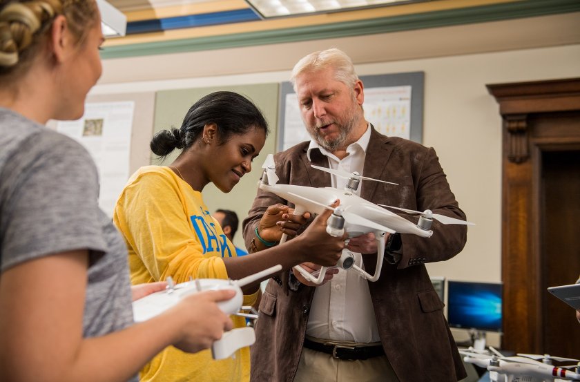
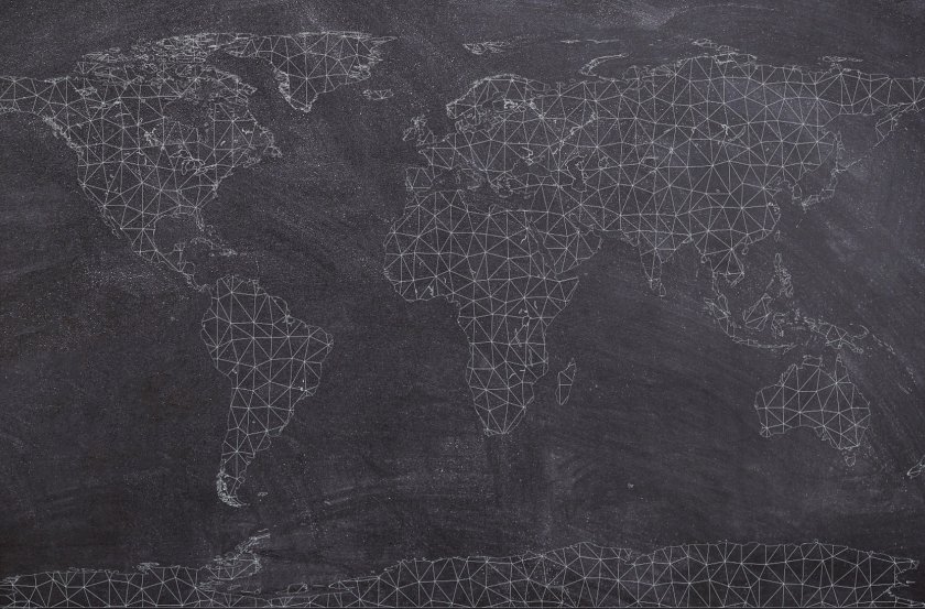
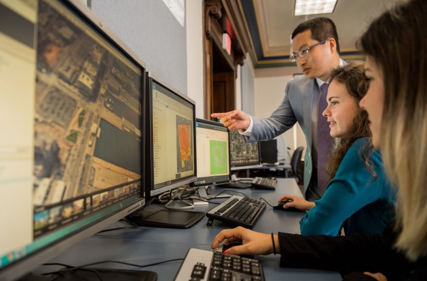
Study human-environment interactions and learn geospatial technologies like cartography, remote sensing and computational analysis. The major allows students to gain hands-on experience with computerized Geographic Information System (GIS) that integrate hardware, software and data for capturing, managing, analyzing and displaying all forms of geographically referenced information. GIS allows researchers to work with data in many ways that reveal relationships, patterns and trends in the form of maps, globes, reports and charts. Graduates of this program are prepared to apply their geographic knowledge and technical skills to address problems related to global climate change, regional planning and development, natural resources and much more.
- Have a genuine curiosity about the world.
- Enjoy both the hard sciences and social sciences.
- Like to learn about different places and cultures.
- Like working with technology.
- Are a problem solver and analytical thinker.
- Geographic information systems analyst
- Urban planner
- Intelligence analyst
- Remote sensing analyst
- Cartographer
- EROS (Earth Resources Observation and Sciences) Center
- Fugro Geospatial
- IMS (Infrastructure Management Services)
- South Dakota BIT (Bureau of Information Telecommunications)
- Midcontinent (GIS Analyst)
- EROS (Earth Resources Observation and Sciences) Center
- 1st Planning District (Watertown)
- Oak Ridge National Laboratory
- City of Henderson, Nevada
- Public Works Department, City of Mounds View, Minnesota
- Geography Club